GIS & Mapping
- ArcGIS Pro
- QGIS
- ArcGIS Online
- Google Earth Engine
- Leaflet
- OpenLayers
Available for opportunities
Leveraging geospatial technologies, remote sensing, and advanced programming to solve real-world challenges with innovative solutions.

About me
I specialize in building practical, high-accuracy geospatial solutions, from satellite imagery analysis (including SAR) and automated geoprocessing workflows to interactive Web-GIS applications, spatial databases, and advanced visualization tools. I'm driven by clean data, efficient systems, and impactful geospatial intelligence that supports real-world decision-making.
Experience
May 2025 - Present
Dedan Kimathi University of Technology - Remote Sensing Research Group (RSRG)
Feb 2025 - Apr 2025
Dedan Kimathi University of Technology - Remote Sensing Research Group (RSRG)
Jan 2024 - Apr 2024
Kenya Space Agency - Earth Observation Department
Skills
Projects
Designed and deployed the official website for the Centre for Spatial Information Science and Systems with modern UI/UX.
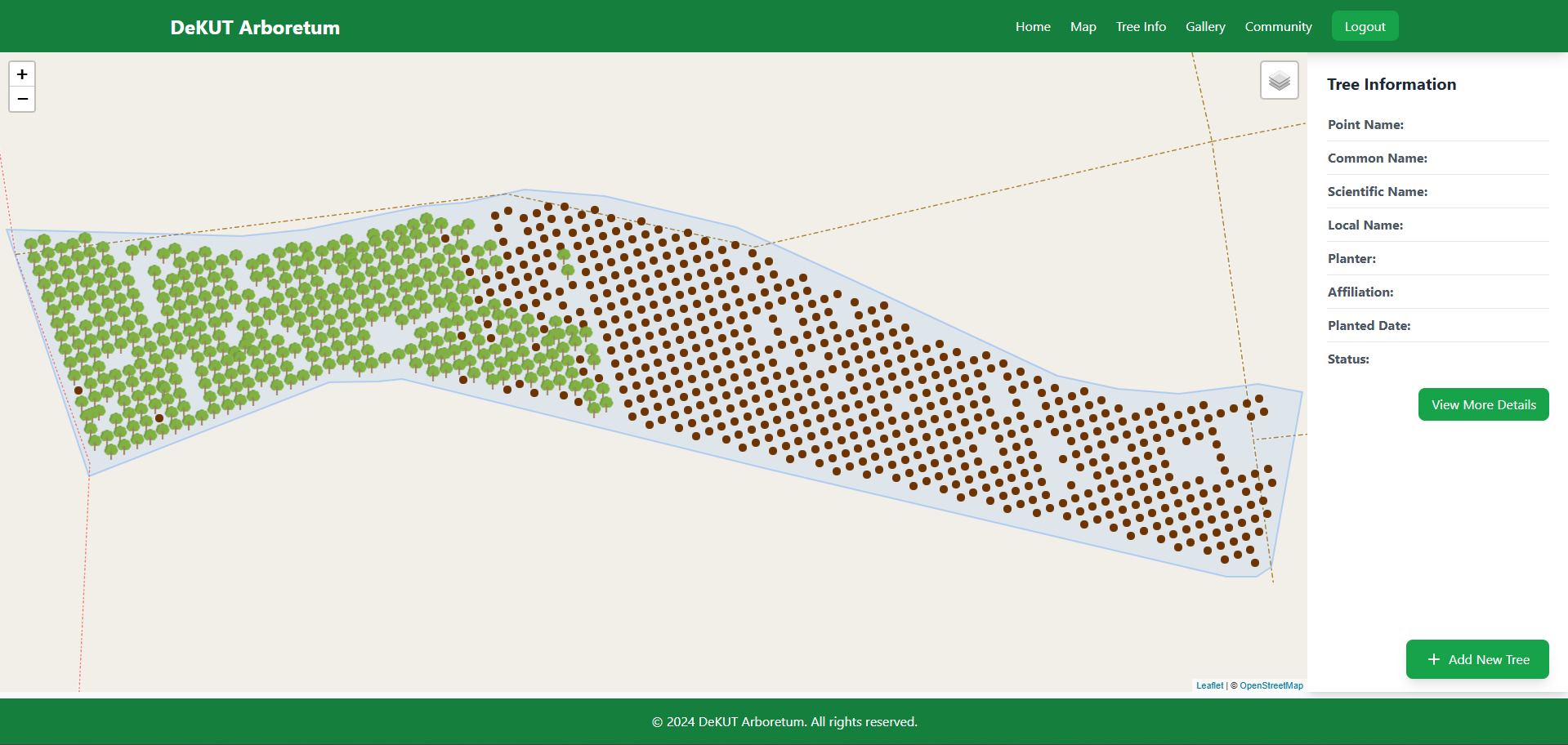 Web GIS
Developed a comprehensive web-GIS platform for managing and monitoring trees in the DeKUT Arboretum with real-time NDVI analysis from monthly drone imagery.
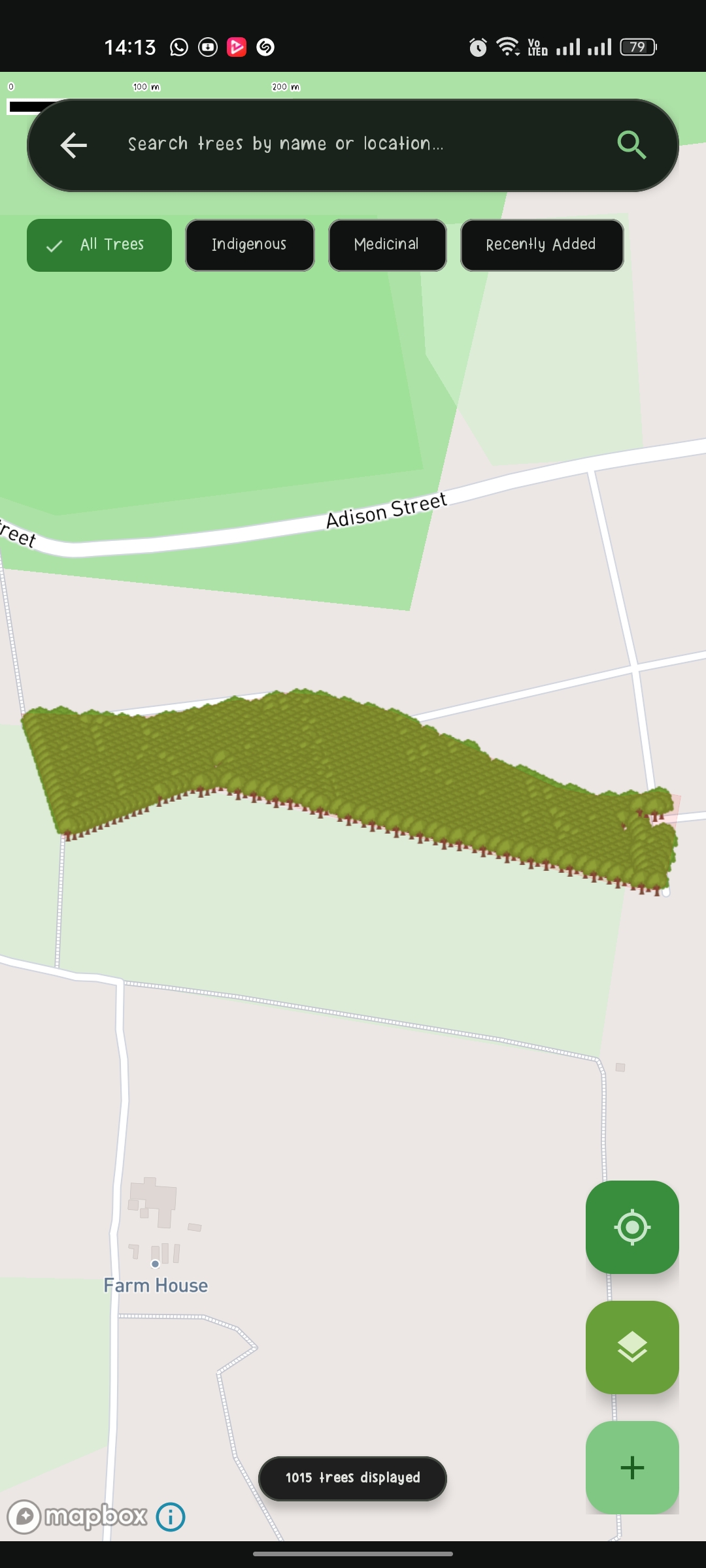 Mobile & ML
Android application with ML-powered tree species identification using ResNet50 and EfficientNet models, featuring authentication and real-time data sync.
Designed and deployed the official website for the Remote Sensing Research Group (RSRG) with modern UI/UX.
Contact
I'm always open to discussing new opportunities, collaborations, or innovative geospatial projects.